Home » Product tour
The Blindsee application allows establishments and public places to enhance the autonomy and accessibility of people with disabilities.
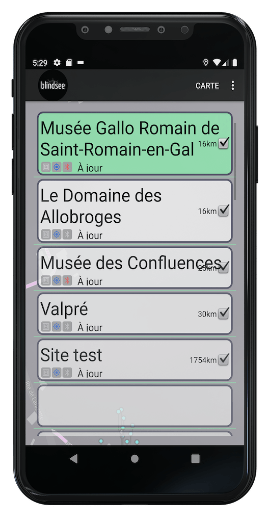
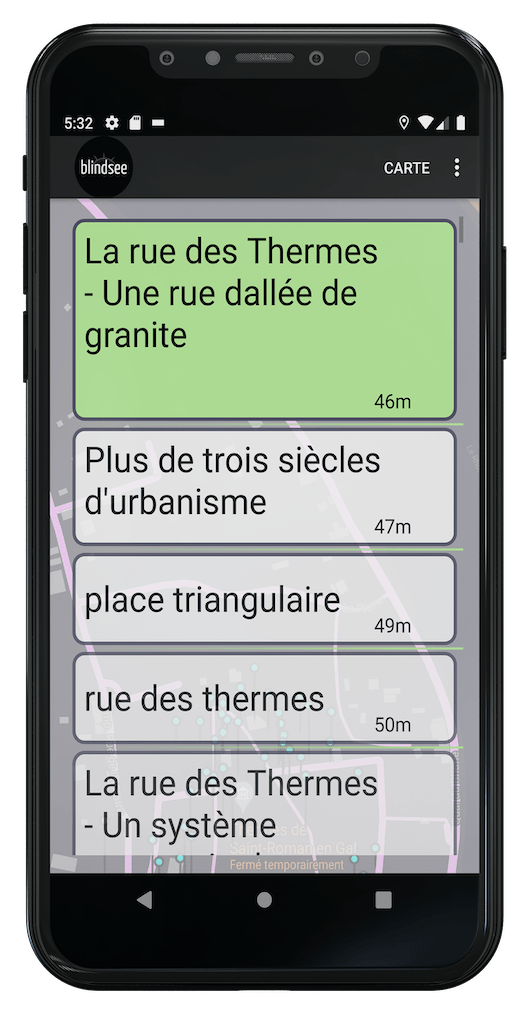
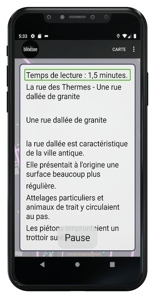
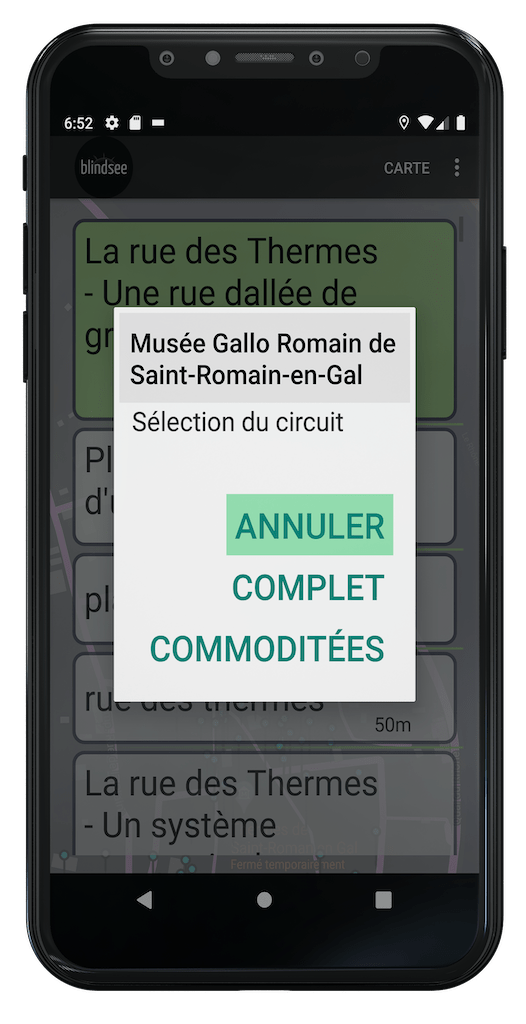
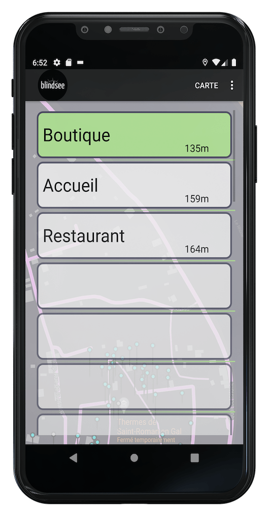
It is available as a smartphone app or web application that primarily provides visually impaired individuals with a list of nearby locations, objects, and points of interest, along with audio descriptions.
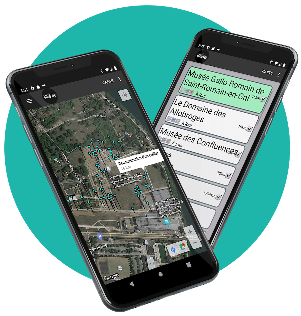
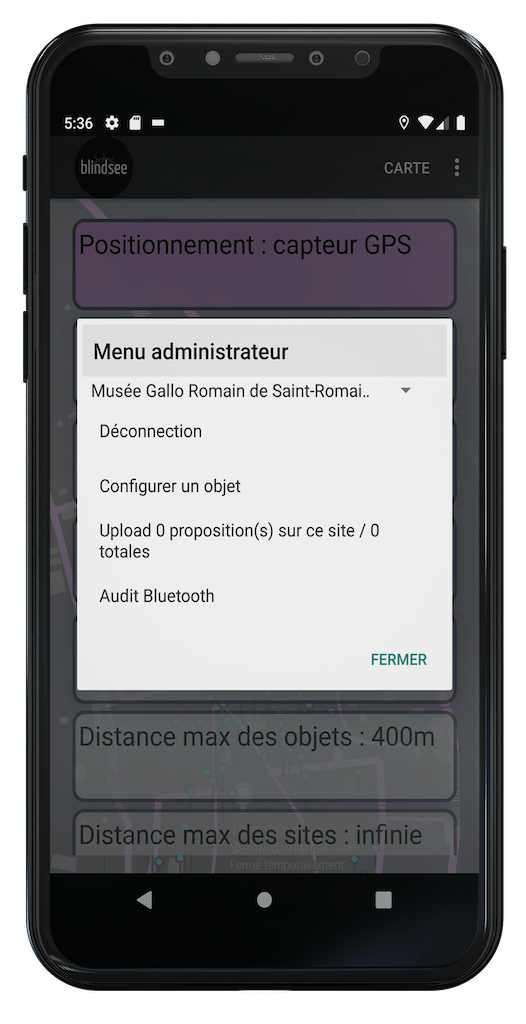
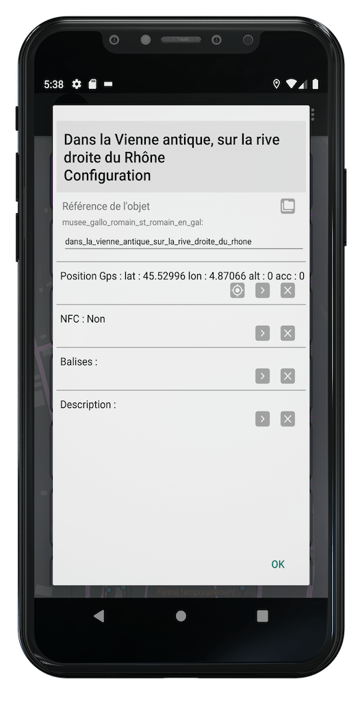
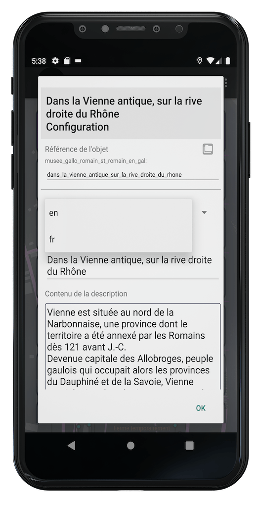
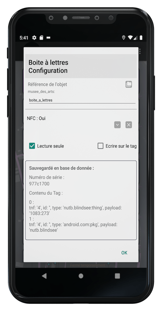
The Blindsee application for site managers is the same as for users but provides access to an administrative space. It allows one or more administrators to describe the areas, routes, objects, and points of interest of the site in multiple languages.
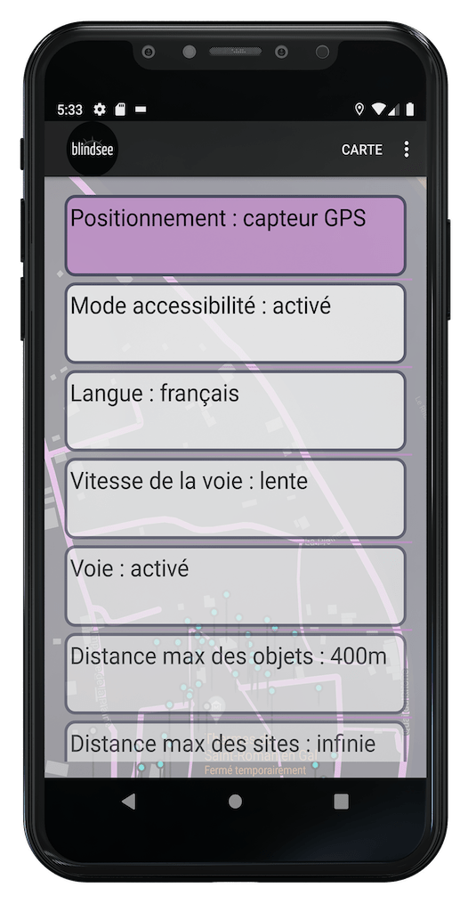
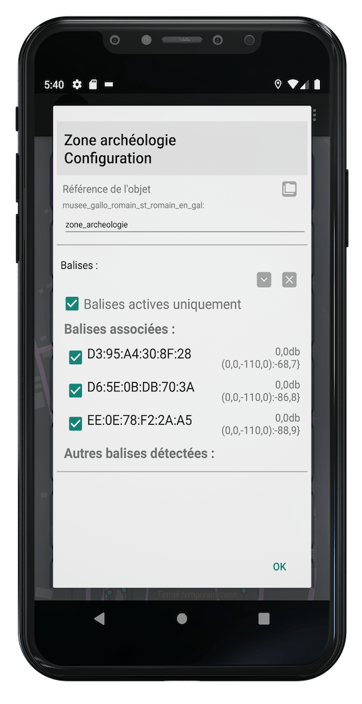
The positions of objects are described using GPS positioning, the use of NFC tags, or Bluetooth beacons previously installed in indoor and outdoor spaces.
The application provides access to a private space for configuring the content of the site. Multiple levels of administration are possible (site manager, administrator, simple user).
![phone_14_01 [Converti]](https://blindsee.io/wp-content/uploads/2023/05/phone_14_01-Converti.png)
![phone_14_01 [Converti]](https://blindsee.io/wp-content/uploads/2023/05/phone_14_01-Converti.png)
![phone_14_01 [Converti]](https://blindsee.io/wp-content/uploads/2023/05/phone_14_01-Converti.png)
![phone_14_01 [Converti]](https://blindsee.io/wp-content/uploads/2023/05/phone_14_01-Converti.png)
![phone_14_01 [Converti]](https://blindsee.io/wp-content/uploads/2023/05/phone_14_01-Converti.png)
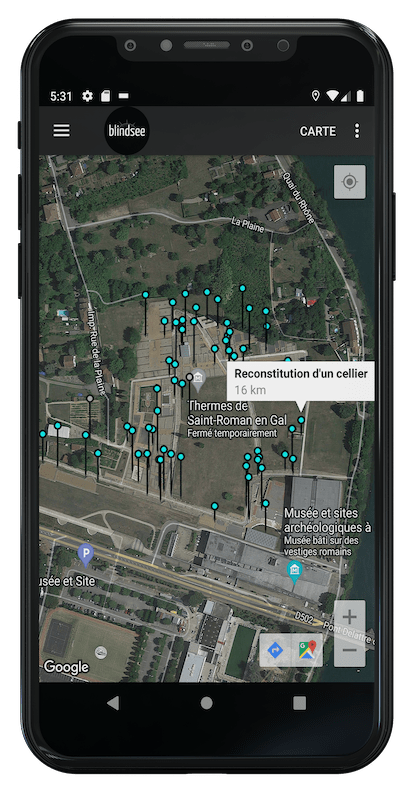
The mobile application is accessible for free to any user for consultation. It can be downloaded from the Apple Store or Google Play.
![phone_14_01 [Converti]](https://blindsee.io/wp-content/uploads/2023/05/phone_14_01-Converti.png)
![phone_14_01 [Converti]](https://blindsee.io/wp-content/uploads/2023/05/phone_14_01-Converti.png)
![phone_14_01 [Converti]](https://blindsee.io/wp-content/uploads/2023/05/phone_14_01-Converti.png)
![phone_14_01 [Converti]](https://blindsee.io/wp-content/uploads/2023/05/phone_14_01-Converti.png)
![phone_14_01 [Converti]](https://blindsee.io/wp-content/uploads/2023/05/phone_14_01-Converti.png)
